Following the Saint's journey from Hoddom to Glasgow
Moffat to St Mary’s Loch
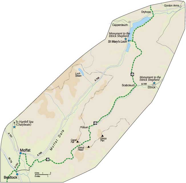
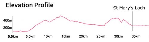
21 mile (34 km) OS Landranger 78 & 79
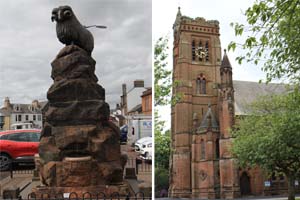
From the bottom of Moffat Main Street take the road running east(A708) to Old Carlisle Road then south for about 2 km to meet up with the Southern Upland Way.
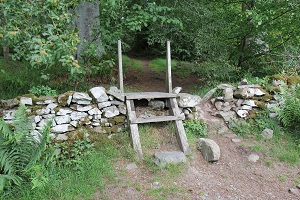
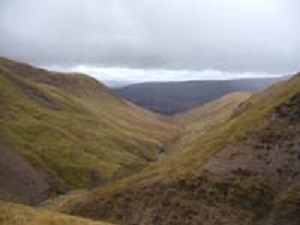
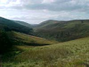
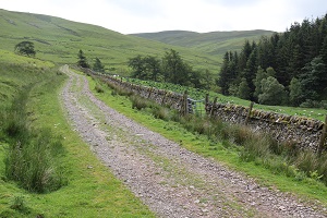
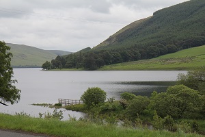
The Southern Upland Way leads eastwards along the old Romans and Rievers route through increasingly forested and hilly upland terrain. The route crosses over Ettrick Head and down past Nether Phawhope Bothy to meet the Ettrick road. At Scabcleuch leave the roadway and follow the path heading north to St Mary’s Loch. At the Loch look out for the monument to James Hogg, the Ettrick Shepherd.Accommodation at the end of this section has become a little problematic since the closure of Tibbiesheils Inn, situated at the foot of the loch. A number of options are available.
Transport and accommodation can be provided from Scabcleuch by prior arrangement with Tushielaw Inn or from the foot of St Mary’s Loch by prior arrangement with the Gordon Arms Hotel. Alternatively, at the cost of carrying a light sleeping bag and some food, a pleasant night can be spent in the refurbished Nether Phawhope Bothy.
For information about historical events and places of interest in this section CLICK HERE. To view the details on the next section of the walk CLICK HERE.